
THE SITE,
DIGITISED.
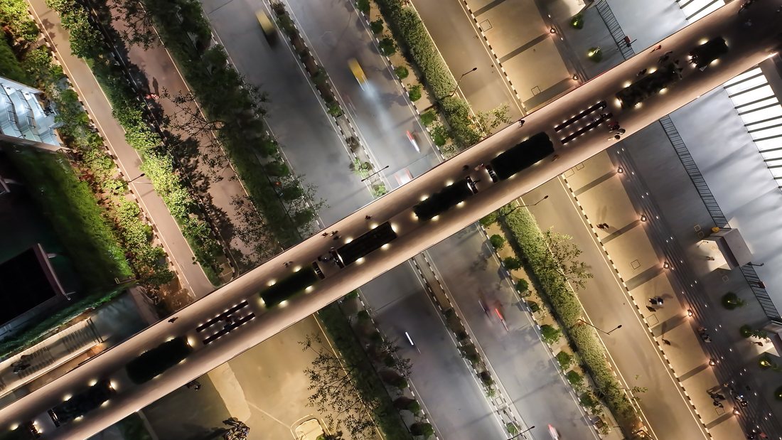
Aerial Mapping — 2D Orthomosaic & 3D Site Models
We fly a site once and hand back its digital twin — flat, measurable 2D orthomosaic maps stitched from hundreds of aerial frames, and interactive 3D models anyone can orbit in a browser. No software, no site visit, no ambiguity.
These are real, deliverable models from real projects — not renders. Orbit, zoom and inspect them right here.
The Oberoi Group — Proposed Land
A proposed development site digitised for The Oberoi Group — the full parcel, its terrain and its context, explorable before a single drawing exists.
THE OBEROI GROUP — PROPOSED LAND · CAPTUREKRAFT DRONE PHOTOGRAMMETRY · ON SKETCHFAB
Devprayag Ganges Resorts — Full Area
A complete riverside resort property as one navigable model — the site, its terrain and the confluence around it.
DEVPRAYAG GANGES RESORTS — FULL AREA · CAPTUREKRAFT DRONE PHOTOGRAMMETRY · ON SKETCHFAB
GRT Estate — Parcel 1
A land parcel mapped for planning and marketing — boundaries, terrain and context from every angle.
GRT ESTATE — PARCEL 1 · CAPTUREKRAFT DRONE PHOTOGRAMMETRY · ON SKETCHFAB
Kabini — 3D Terrain Mesh
A simplified terrain mesh of the Kabini landscape — lightweight enough to load anywhere, detailed enough to read true.
KABINI — 3D TERRAIN MESH · CAPTUREKRAFT DRONE PHOTOGRAMMETRY · ON SKETCHFAB
DELIVERABLES
| 2D ORTHO | PLAN-VIEW MAPS STITCHED FROM AERIAL FRAMES |
| 3D MODELS | PHOTOGRAMMETRY MESHES — SITES, ESTATES, TERRAIN |
| WEB SHARE | MODELS VIEWABLE IN ANY BROWSER, LINK-ONLY |
| PROGRESS | REMAPPED VISIT-OVER-VISIT FOR LIVE SITES |
| PAIRED | SHOT ALONGSIDE FILMS, STILLS & INSPECTIONS |
WHO IT'S FOR
- 01Developers & construction — a measurable record of the site at every stage, shareable with consultants without a site visit.
- 02Estates & land owners — parcels and boundaries presented as something a buyer can actually explore.
- 03Resorts & hospitality — whole properties digitised in context: terrain, river, approach and all.
- 04Architects & planners — existing conditions captured before the first drawing is made.